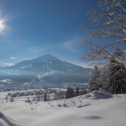
This hike starts in the center of Oberndorf. Head towards Kitzbühel Schwarzsee and via Schmiedboden to Hasenberg Weiher pond. Shortly after Hasenberg Weiher turn right towards Vogelsberger Weiher, a nice little pond in a beautiful location with plenty of great places to sit and soak up the views of the Wilder Kaiser Massif and Kitzbüheler Horn. Continue to Erber Cross, which stands on a granite boulder that was ice-rafted to its current position by the Tauern glacier during the Ice Age. Take a right shortly after Erber Cross and head towards Gieringer Weiher, which offers public swimming. The pond marks the halfway point for the hike. At the Gieringer Weiher the way continues via two farmsteads (Stallehen and Lindner) to Rettenberg, with 876m the highest vista point in the Bichlach. This is a good place for a break, and to enjoy the great views. Continue in a northern direction past four farmsteads (Brantl, Grutten, Adler and Rudl) to Gasthof Bichlhof. Head west to return to Oberndorf.
Read more