Niederkaiser

Hiking

favorite_borderfavorite
play_arrowpause
  • MediumLevel
  • access_time7:00 hDuration
  • arrow_right_alt16,1 kmDistance
  • terrain1373 mHighest point
  • trending_up954 mUphill
  • trending_down954 mDownhill
  • Show map
_FM88834.jpg

Tour information

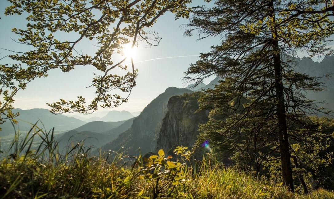
This hike starts at the hamlet Hinterkaiser in St. Johann in Tirol. Follow the signs to “Einsiedelei” Hermitage along the meadows at the foot of the Niederkaiser Ridge and through a forest to the chapel. The trail continues across a clearing and then climbs to Gmail Chapel from where it winds its way steeply towards Niederkaiserkamm. Once you have reached the ridge, the trail climbs and falls for a while, offering great views of the Kitzbüheler Horn and St. Johann in Tirol. Tip: Take a break at „Ursulablick“ - you enjoy marvelous views! At Gscheuerkopf (1279m) the trail has a short climbing section, which is secured with steel cables. Then continue to the Kaiser Niederalm and Granderalm. At Granderalm there is an iron ladder (prerequisites: sure footedness and a good head for heights) down to Schleier waterfall – another highlight along your walk.
From there, Trail No. 818 takes you past the waterfall down to the valley. Then follow the trails of „Moor & more“, and return via Rummlerhof back to your starting point.
 

Read more

Info

Niederkaiser

Features

  • check medium difficulty
  • check
  • - outdoor clothing
    - sturdy shoes
    - Sufficient food and drinks
    - First aid kit
    - Mobile phone with full battery & charger
    - Hiking map & guide literature
    - GPS device or download the GPS data to your mobile phone if necessary
    - Sun protection (sunglasses, sun cream, cap)
    - Rain protection
    - Cash
  • Coming from Salzburg on the B178, take the Salzburger Straße into the roundabout, take the third exit and park at the Steinlechnerplatz car park. 
    Coming from the direction of Kitzbühel on the B161, enter the roundabout and take the first exit, turn left at the next junction to the Steinlechner car park and park.

    Now it is only a few metres to the start of the hike by crossing the Großachenbrücke bridge in Kaiserstraße and continuing to Poststraße.  

    This is how you get to the St. Johann in Tirol region: https://www.kitzbueheler-alpen.com/en/stjo/getting-here/holidays.html
  • Bus: Linie 4000, 4012, 4060 Bus stop: Haltestelle St. Johann in Tirol Steinlechnerplatz
    Or you can take the convenient and free Okto hiking bus from Monday to Friday in the summer months.
    Train: 201 Giselabahn Bahnhof St. Johann in Tirol

    Bus and traintimes: 
    kitzalps.cc/mobile
  • Nearest Parking possibility:
    Parking place Steinlechnerplatz (you will have to pay a parking fee)

Restaurants & infrastructure

Similar

Tristkopf

TristkopfMedium
Tristkopfaccess_time6:30 harrow_right_alt16,3 kmfavorite_borderfavorite

Markbachjoch

MarkbachjochMedium
Markbachjochaccess_time3:15 harrow_right_alt16,5 kmfavorite_borderfavorite

Schafsiedel

SchafsiedelMedium
Schafsiedelaccess_time6:45 harrow_right_alt15,6 kmfavorite_borderfavorite

Silberweg

SilberwegMedium
Silberwegaccess_time5:30 harrow_right_alt15,6 kmfavorite_borderfavorite