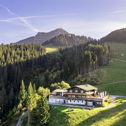
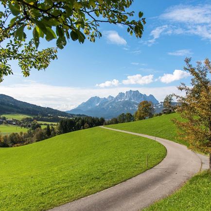
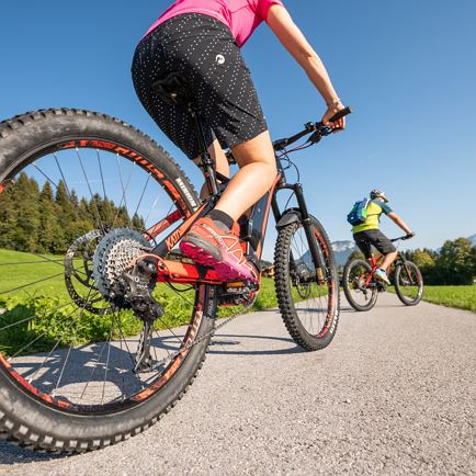
About 3 km asphalted road (Hornweg) in the direction of Pointenhof, continue on shady forest road to the idyllic mountain lake Angereralmsee (1200 m middle station). Once you reach your destination at the top station of the Harschbichlbahn (1604 m), you will be rewarded with a magnificent panoramic view.
Read more
Info
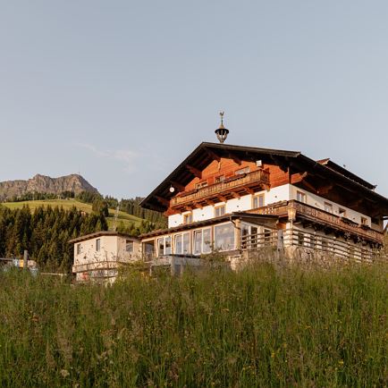
Harschbichl II - Nr. 215
Features
checkMedium difficulty / red
check
asphalt, well prepared forest trails
- outdoor clothing - sturdy shoes - Sufficient food and drinks - First aid kit - Mobile phone with full battery & charger - Hiking map & guide literature - GPS device or download the GPS data to your mobile phone if necessary - Sun protection (sunglasses, sun cream, cap) - Rain protection - Cash
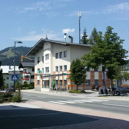
Coming from Salzburg on the B178, take the Salzburger Straße into the roundabout, take the third exit and park at the Steinlechnerplatz car park. Coming from the direction of Kitzbühel on the B161, enter the roundabout and take the first exit, turn left at the next junction to the Steinlechner car park and park. Alternativ you can follow the road to the lift station St. Johann in Tirol, if you would like to park there.