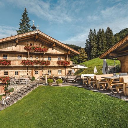
©Gartner_Mathäus_-5602

Almrosenweg (Alpine Rose Trail)

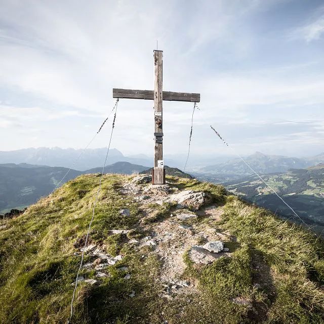
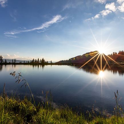
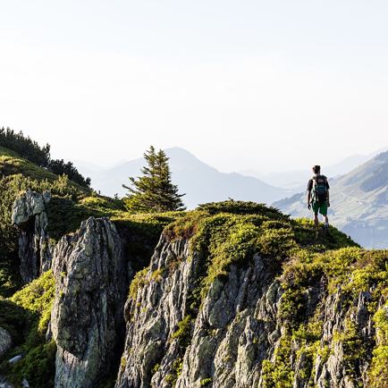
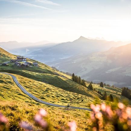
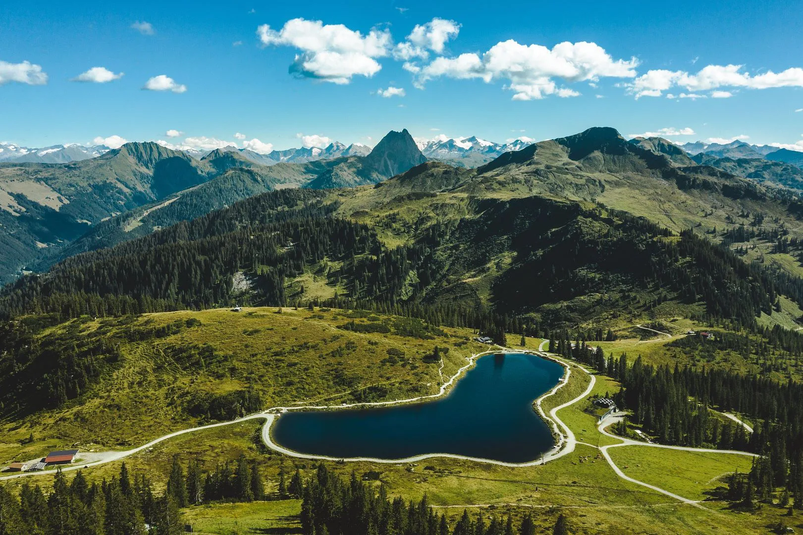
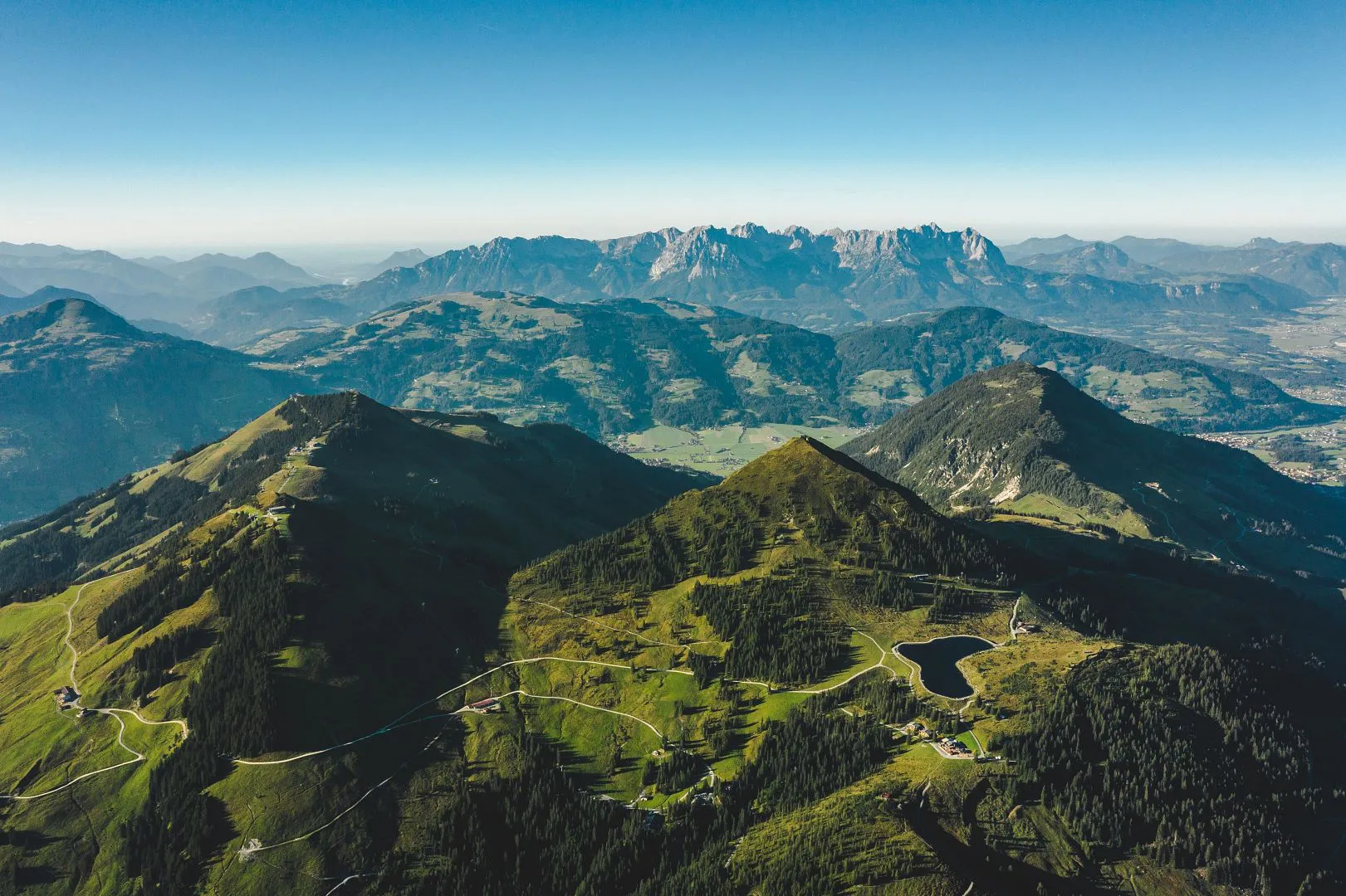
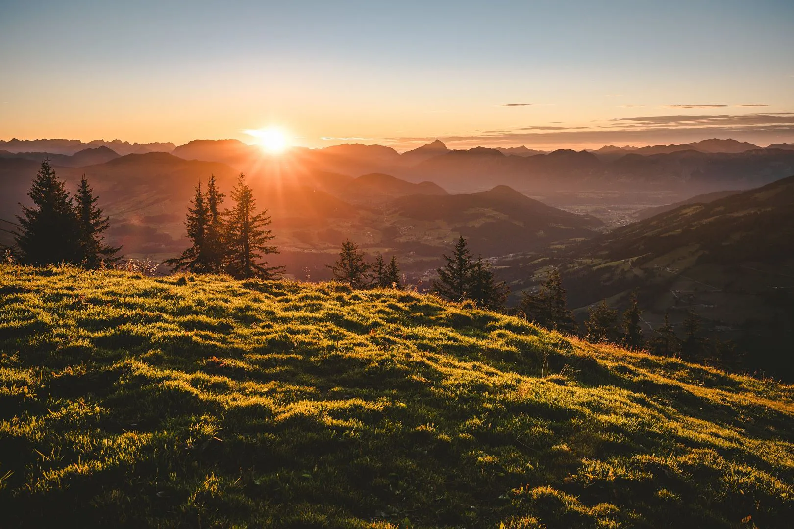
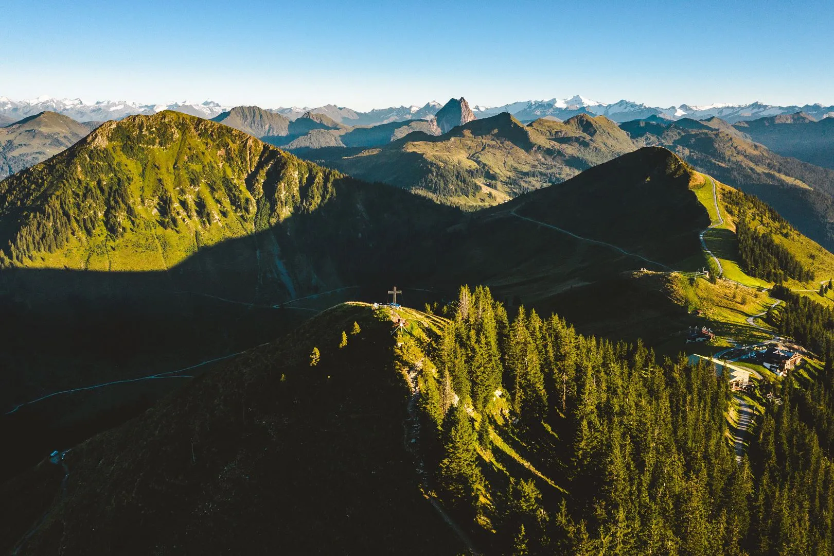
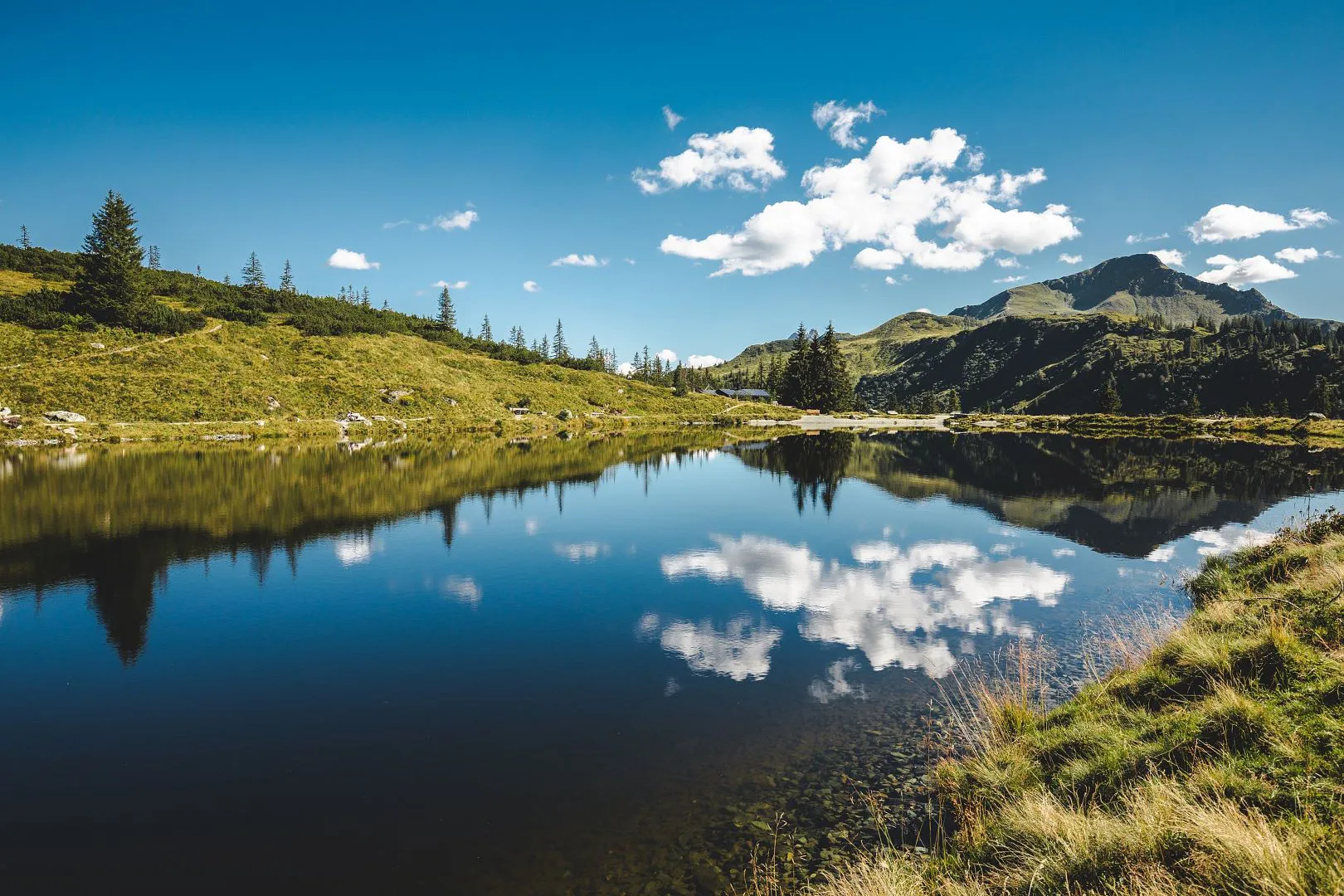
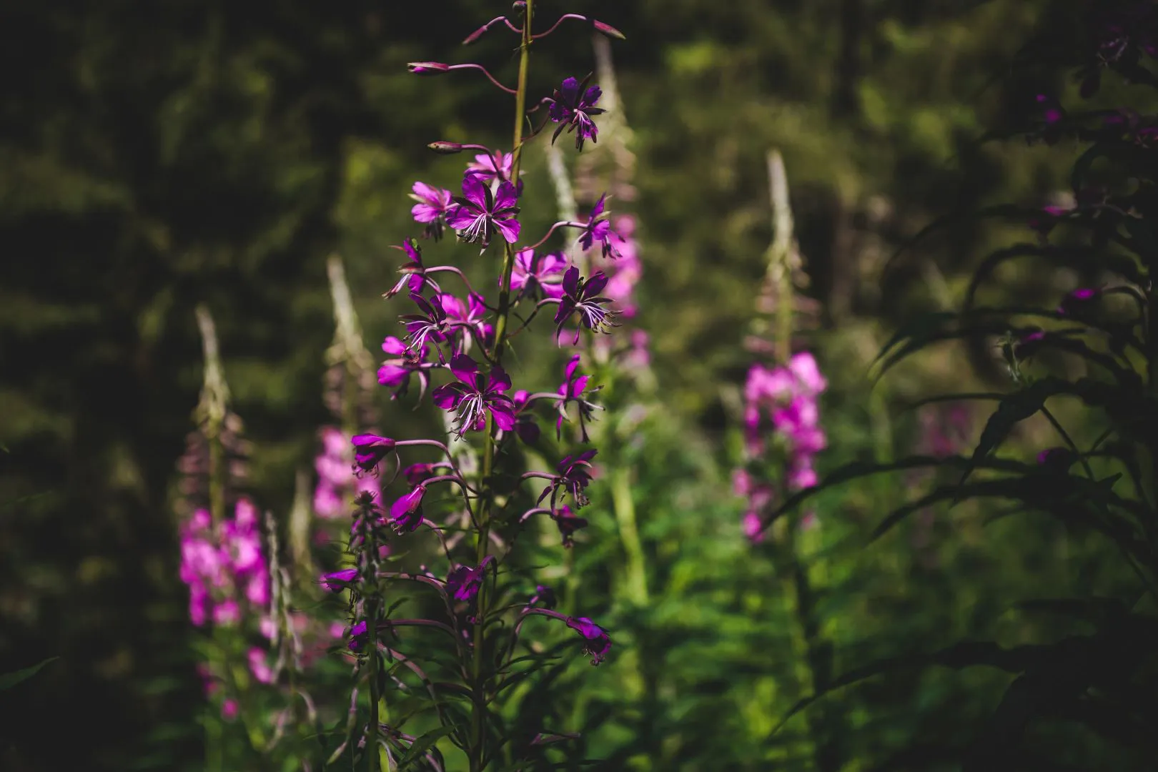
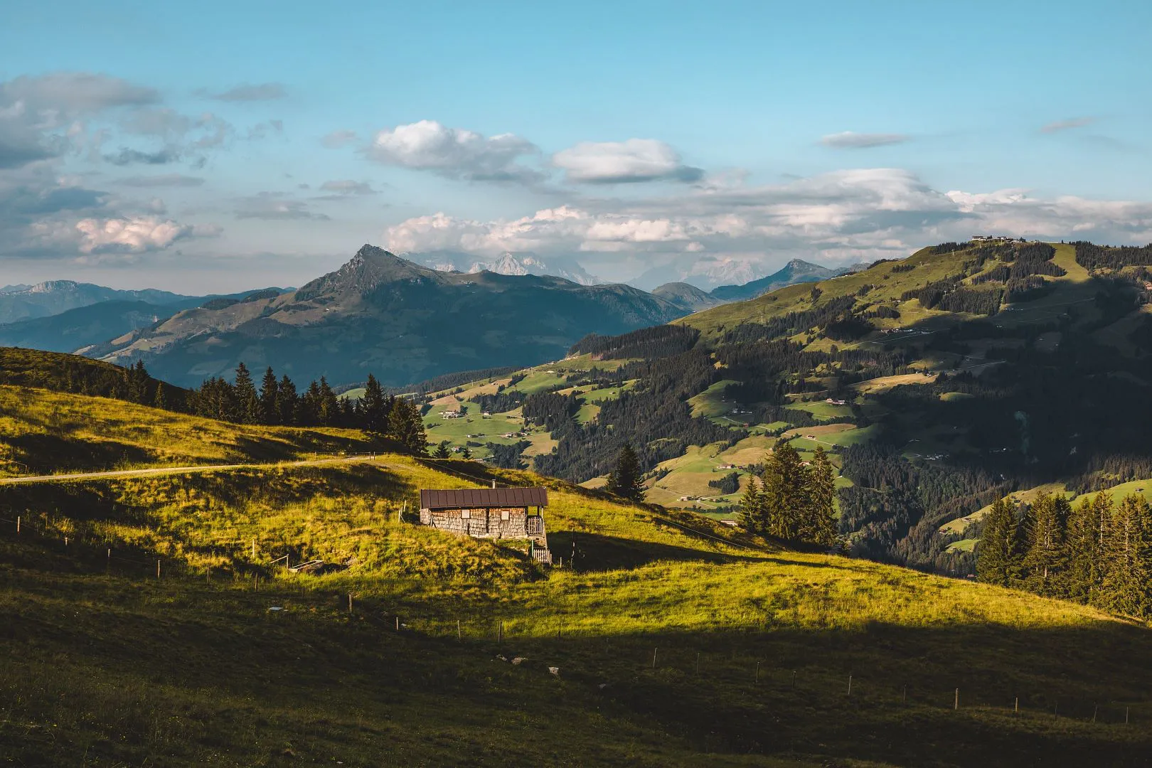
One of the four circular walks of the Hiking Butterfly is the Almrosenweg (the Alpine Rose Trail). As indicated by its name, this trail is characterised by Alpine roses on the higher level. On this hike explore the highest point of Brixen, picturesque mountain lakes and a charming valley head.


Details and Facts

  • checkDeparture point: village centre Brixen im Thale

  • checkDuration on foot: 6 - 7 hours

  • checkDifference in altitude: 950 m in altitude

  • checkDifficulty: moderately difficult

  • checkTrail surface: forest road, hiking trail

  • checkEquipment: hiking shoes, water bottle, poles and change of clothes

  • ©Gartner_Mathäus_-0228
  • ©Gartner_Mathäus_-0239
  • ©Gartner_Mathäus_-0373
  • ©Gartner_Mathäus_-0443
  • ©Gartner_Mathäus_-5602
  • ©Gartner_Mathäus_I-9602
  • Gampenkogel©Gartner_Mathäus_-2667

Almrosenweg

  • MediumLevel
  • access_time6:00 hDuration
  • arrow_right_alt15,5 kmDistance
  • terrain1957 mHighest point
  • trending_up950 mUphill
  • trending_down950 mDownhill
  • Details

Refreshment options

  • checkWiegalm

  • checkBrechhornhaus

  • checkRestaurant Talkaser

  • checkPanoramagasthof Choralpe

  • checkKandleralm

Wiegalm
First walk along the Brixentaler Ache (river) in the valley and then turn left onto the forest road towards the Kandleralm. After about 300 metres you turn to the left at a junction in the direction of Gruberwald and continue on this forest road as far as the Rechentalalm. Above this beautifully situated Alpine pasture, a path branches off to the right, on which you now descend towards the Brixenbachalm. (However, you can also hike to this point via the Brixenbach road as in the "Urzeit" Trail).

At the end of the drivable trail, you come to the somewhat steep Alpine path towards Talkaseralm. Cross a ditch and you quickly gain height on the steep mountain flank. Near the Talkaseralm, the trail levels out and a bowl-shaped valley head widens out in front of you. From the Talkaseralm you could now ascend directly to the Einködlscharte, but our route describes a very worthwhile diversion. From the Talkaseralm, you first take the bend in the path to the other side of the valley and there you will find the turnoff to a varied narrow trail towards the Wiegalm.
From the Alpine pasture floor, you can sometimes hear the piercing chirps of marmots in Summer as they climb up part of the northern Gampen slope under larches and spruces. Once you have reached the northern edge, the trail leads through varied forest and clearings and finally across an interesting hillside moor to the Wiegalm, a point of contact with the"Urzeit Trail“. From the Wiegalm, there are two options for the rest of the trail. The most comfortable is the Alpine path via the Wildenfeldalm to the Kreuzjöchlsee. This lake/reservoir was also created for the purpose of snowmaking for the pistes, but its location and design give it the status of a natural mountain lake.

From here continue the hike with little difference in altitude to the Einködlscharte and enjoy the view into the Windau Valley and further out into the Inn Valley. Would you like to ascend even further and an additional 500 metres of altitude won't be a problem? Then traversing the Gampenkogel is the right option for you. From the previously described path to the Kreuzjöchlsee, a trail branches off to the Gampenkogelspitze (1,957m). In early Summer you walk through a sea of Alpine roses, precisely in those areas of the eastern slope where the Winter storms prepare a thick protective blanket of snow over the vegetation. From the summit you have an equally impressive panoramic view of the Hohe Tauern's mountain peaks.


Morgengrauen in Brixen
On the descent across the wind-exposed western side, the Alpine roses are replaced by clusters of particularly hardy dwarf shrubs and, further down, again and again by high-moor-like hollows - typical of the precipitation accumulation on this side of the mountain. From the Einködlscharte, the trail leads along the eastern side of the Fleiding to the mountain-top station of the Alpenrosenbahn gondola. This gives somewhat tired hikers the opportunity to glide down to Westendorf in the gondola and from there complete the tour via the walking trail or by bus. However, you should not miss the last section of the Almrosenweg.

The mountain-top station of the Alpenrosenbahn is also the entry point to „Alpinolino“, where young and old can put their natural history knowledge and skills to the test. You will get to know part of this attraction on the almost half-hour route to the so-called "Chor". From this point you have a view of the entire Brixental valley from Wörgl to Kitzbühel. For the descent, you can choose the steeper path via the Santenbach Hoch- and Niederalm or the path along the mountain ridge and via the forest road to the Kandleralm. Through extensive spruce and fir forests, the forest road finally leads back down to the Brixentaler Ache and back to Brixen.

Refreshment options

Kandleralm

Kandleralm
Kandleralm
4,7
starstarstarstarstar
(269)
Closed todayBrixen im Thale
favorite_borderfavorite

Wiegalm

Wiegalm
Wiegalm
4,7
starstarstarstarstar
(80)
Open todayBrixen im Thale
favorite_borderfavorite

More hiking routes

Silberweg

SilberwegMedium
Silberwegaccess_time5:30 harrow_right_alt15,6 kmfavorite_borderfavorite

Obwiesen

ObwiesenEasy
Obwiesenaccess_time1:30 harrow_right_alt5,7 kmfavorite_borderfavorite

Schwarzkogel

SchwarzkogelMedium
Schwarzkogelaccess_time6:30 harrow_right_alt8,9 kmfavorite_borderfavorite