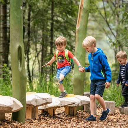
The Alpinolino Discovery Park includes two easy themed hiking tours, especially for our younger guests! Games, fun and adventure are guaranteed here. The emphasis is on the introduction and getting to know about nature, animals and mountains. The “Climb to the Sky” leads around the Guggenkögele. Begin at the Alpenrosenbahn’s mountain-top station and follow the hiking trail in the direction of the Guggenkögele. Interspersed with interesting stations, before you know it, you will arrive at the Choralpe. Before reaching this destination, make a detour to Guggenkögele mountain crest and see its beautiful summit cross (Adlerhorst Station). On the forest road below the chapel at the Chor, the trail brings you back to the mountain-top station again. However, before reaching this destination, several more interesting stations await you.
Read more