Rosenweg

Hiking

favorite_borderfavorite
play_arrowpause
  • Open
  • EasyLevel
  • access_time0:30 hDuration
  • arrow_right_alt1,9 kmDistance
  • terrain712 mHighest point
  • trending_up17 mUphill
  • trending_down24 mDownhill
  • Show map
Rosenweg_Itter_Dabernig_07_2017_8.jpg

Tour information

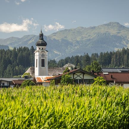
The starting point of this hike is the village square in Itter.
Follow the signs towards Rosenweg (No. 4). Walk past the viewing platform to the fork in the path and turn left there.
Continuing to follow the path, you reach the blooming stepped bed.
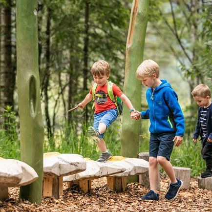
From here keep right towards Itterer Dörfl. Passing the traditional farmhouses, you arrive at the knight's playground.
You then return to the starting point via the gravel path.

Read more

Info

Rosenweg

Features

  • check easy / hiking trail
  • check
  • check
  • Asphalt, forest road, forest path
  • outdoor clothing
    sturdy shoes
    sufficient water & snacks
    first-aid kit
    fully charged mobile phone + charger
    hiking map + guide literature
    probably GPS device or GPS data on mobile phone
    sun protection (sunglasses, sunscreen, hat)
    rainwear & cash
  • From Innsbruck/Munich: A12 exit Wörgl Ost - feeder road B178 direction St. Johann i. T. & Kitzbühel - after the tunnel stay on the B178 for approx. 3km (drive under the roundabout) - follow Luechstraße to Loferer Straße - at the large crossroads (left Itter industrial estate) turn right onto Itterer Straße - after a slight road climb you will reach the start of the tour after approx. 1.5km.

    From Kitzbühel: B170 Brixentalstraße in the direction of Wörgl - drive through Hopfgarten until shortly before the town exit (Hopfgarten railway station) - approx. 100m after Hopfgarten railway station, follow the signs to the right to Itter - on Itterer Straße approx. 2km up the mountain until you reach the start of the tour. 
  • bus: Itter Dorfplatz


    Guest card = travel ticket - bus & train included! 

    Online timetables:


    www.vvt.at

    www.oebb.at
  • free parking at the village square

Restaurants & infrastructure

Similar

Mödlingweg

MödlingwegEasy
Mödlingwegaccess_time0:50 harrow_right_alt2,3 kmfavorite_borderfavorite