Kitzbüheler Horn via Horn-Gipfel-Höhenweg
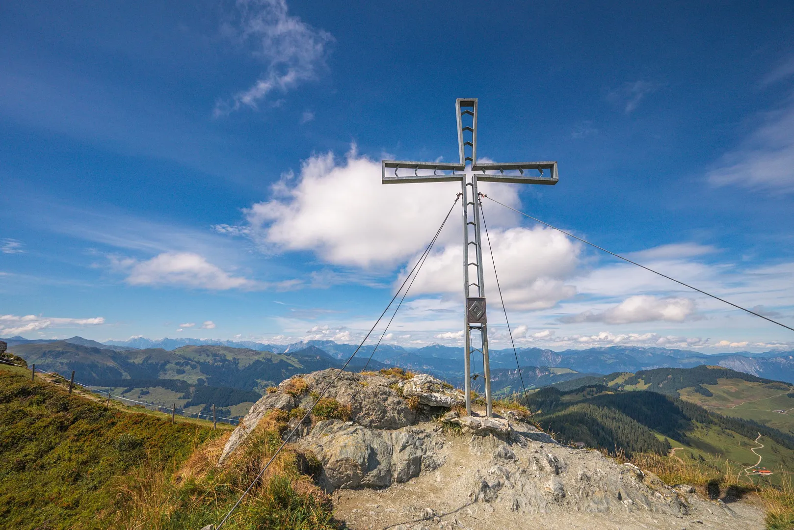
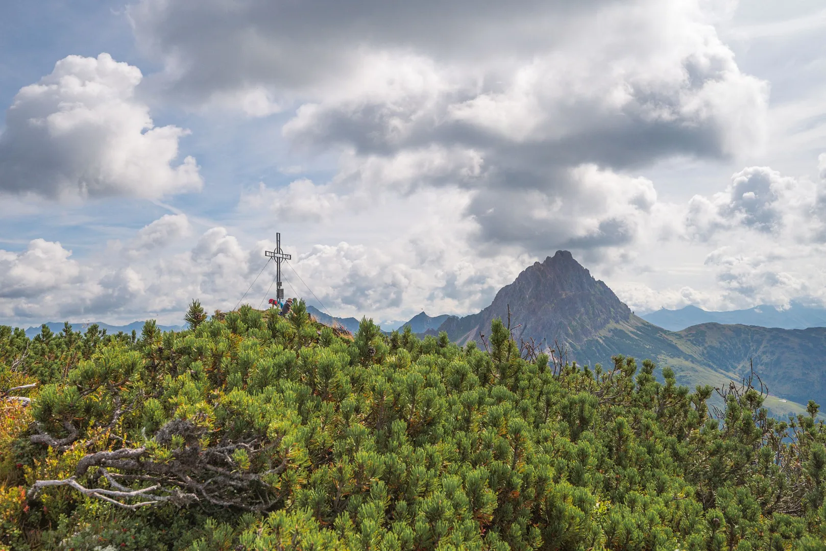
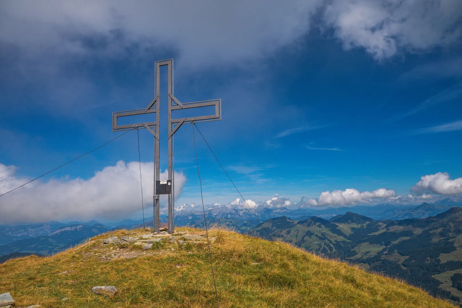
From the Harschbichl mountain station, you walk a short distance along the gravel path, slightly downhill, and then immediately uphill again. The mountain path winds its way over steep alpine meadows in numerous hairpin bends and becomes a trail halfway up. The Ludwig-Scheiber-Steig is secured with a steel cable at its narrowest point and offers a breathtaking panoramic view of the Kaiser. After passing through the imposing rock gate, you hike a few meters along the road, finally across alpine meadows, past a chapel, and then reach the summit of the Kitzbüheler Horn. Once there, the descent begins to the east along the narrow ridge in the direction of the 'Hoferschneid'. Surefootedness is required here, even if the unique view of the surrounding mountains is tempting. The 'Jägersteig' trail then branches off from the Hoferschneid and leads you back downhill to the Harschbichlbahn mountain station. Once there, you can either hike down into the valley or take the gondola down in comfort. TIP! Be sure to visit the Alpine flower garden between the Gipfelhaus and Alpenhaus.
To the tour