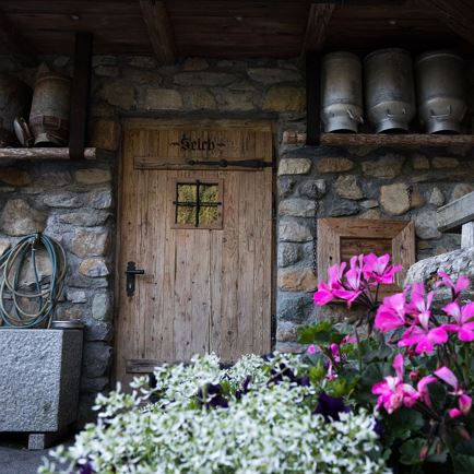
Gamsbeil
 Medium
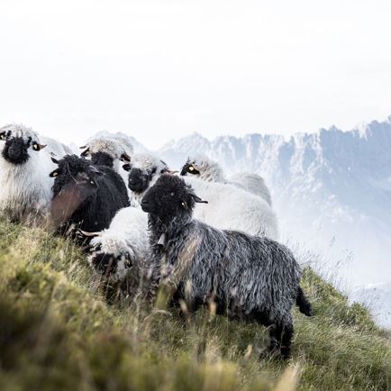
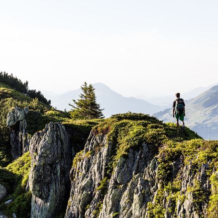
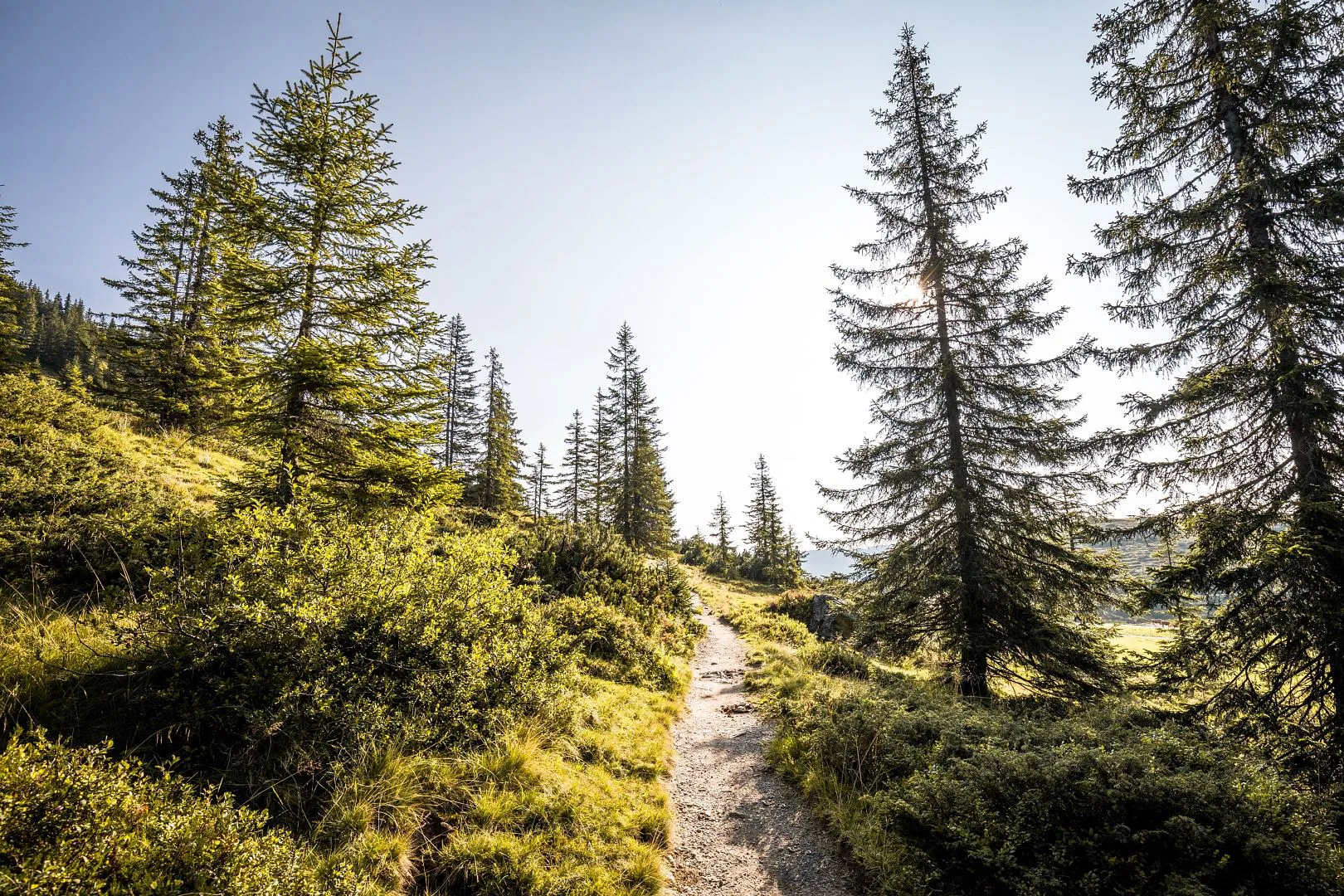
At 2,037 m above sea level, Brechhorn is one of the most popular hiking destinations in the Westendorf region. There are many different routes to conquer the summit, making it accessible not only to athletic summiteers, but also to families. You can reach the summit either by catching a lift on a cable car or start your trek from down in the valley. Along the trail, you'll enjoy stunning views of the magnificent peaks surrounding the Brixental Valley, while Lake Kreuzjöchelsee at the foot of Brechhorn mountain beckons you to take a break. On your descent, you can stop by the Brechhornhaus mountain inn just below the lake, where you can share stories of your adventures with friends or fellow hikers.
At 2,037 m above sea level, Brechhorn is one of the most popular hiking destinations in the Westendorf region. There are many different routes to conquer the summit.
checkType: Half-day tour
checkDuration: 5 hours
checkDistance: 11.8 km
checkHighest point: 2,037 m
checkElevation gain: 600 m
checkElevation loss: 600 m
checkLevel: Moderate/red
checkEquipment: Sturdy hiking boots, provisions, weather-appropriate clothing
checkStarting point: Alpenrosenbahn mountain station in Westendorf
Special waypoints:
Lake Kreuzjöchlsee at the beginning and end of the hike
Refreshment stops: Talkaser mountain inn right next to the Alpenrosenbahn mountain station and Brechhaus at Lake Kreuzjöchlsee.


Interactive map
Plan your tour to the Brechhorn with our interactive map. In addition to the specific data and facts about the tour, you will find further, specific route information, an altitude profile of the tour and GPS data to download. Directions as a PDF are also waiting for you.