The starting point for this tour is the Gasthof Jägerhäusl or the carpark to the right just after the inn.
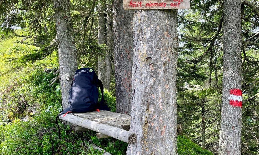
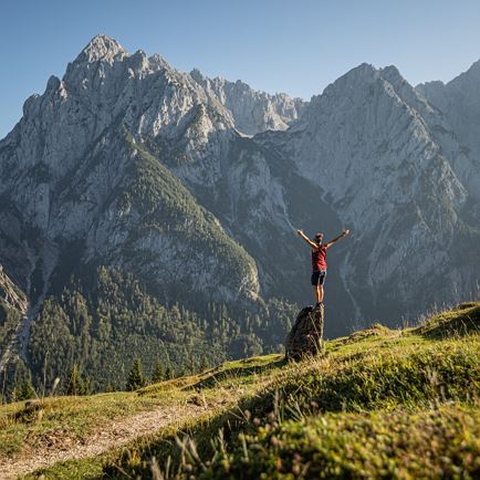
We start uphill at the small fire station and follow the signs, initially in the direction of Käsealm Straubing, later - at the junction to Käsealm - we follow the signs No. 89 "Lodron" or the MTB signpost No. 206 "Kinzlingalm". The path to the Scharlingtal Alm and its chapel consists of many serpentine bends. The beautiful chapel invites you to linger and to enjoy the great views of the Brixental valley and the Hohe Salve. We continue on the Alpine path again, which now runs a bit flatter. After a short stretch of forest we reach a fork in the trail, where there’s also a hunter’s high perch to be seen, to the Kinzlingeralm. We now leave the said MTB route No. 206, turn left and via the Alpine trail, reach the outer Hartkaseralm. The hiking trail takes us between the buildings and to our right onwards across the mountain pastures, up to the Lodronjoch (1,639 m). Here we keep to the left and come to the still wooded mountain ridge. After a short, steeper stretch we arrive at the tree line and can hike, while enjoying auspicious views, along the long ridge to the magnificent summit cross of the Lodron.
For the descent, you can choose the same route or one of the following options:
• Continue from the summit cross in a southerly direction to the Steinbergstein - descend via the Lagfeldenalm - Gamskogelhütte - Talmarsch (approx. 6 km) retourning to the Gasthof Jägerhäusl.
• A short distance South of the summit cross - follow the signpost on the left down to Oberkaralm / Lärchenbergalm - Steinberghaus (approx. 2 km back to the valley floor to Gasthof Jägerhäusl). Follow KAT WALK signs to Gasthaus Steinberg!
• The same descent to the fork in the trail for Kinzlinger Alm - then follow the direction to the Kinzling Alm (MTB signpost No. 206) - From here we walk a short distance uphill. At the next fork in the road we continue downhill in the direction of the Lendwirt. At the bottom of the valley keep to the right and follow the Windauer Ache (river) to the Gasthof Jägerhäusl (approx. 4 km)
Read more