On the Nuarach High Trail

Hiking

favorite_borderfavorite
play_arrowpause
  • HardLevel
  • access_time13:00 hDuration
  • arrow_right_alt18,4 kmDistance
  • terrain2506 mHighest point
  • trending_up2100 mUphill
  • trending_down2050 mDownhill
  • Show map
Nuaracher Höhenweg Mitterhorn-Hinterhorn ©Gartner Mathäus.jpg

Tour information

Day 1: Ascent to the Schmidt-Zabierow Hut (1,966m):
The tour starts at the small car park in the Weißleiten / Lastal district. Follow the trail with the No. 613 through the forest and across the stream bed. The increasingly steep ascent goes through forest and mountain pines, past a hunting lodge, crosses a gully and leads steeply uphill into a scree field. At the fork in the trail, turn off and follow the signs to the hut. Hike through the Ulricher Grube (impressive karst formations) to the Wehrgrubenjoch. Continue down steep, rope-secured rock steps to the large Wehrgrube (snowfields possible until summer!). Cross this and finally walk slightly uphill to the Schmidt-Zabierow-Hütte. 
Tour data Day 1: 1,300 m ascent, 250 m descent, 6.2 km, walking time approx. 5 hours.

Day 2: Along the Nuarach High Trail:
Enjoying the morning sun way up high! The day starts with the ascent to the Waidringer Nieder, where you are already almost "at the top". From the shady north side of the Kleines Hinterhorn, you return to the sunny ridge and continue towards the Mitterhorn (2,506 m), where you reach the highest point on the Nuaracher Höhenweg. Take a rest, enjoy the low and wide views!
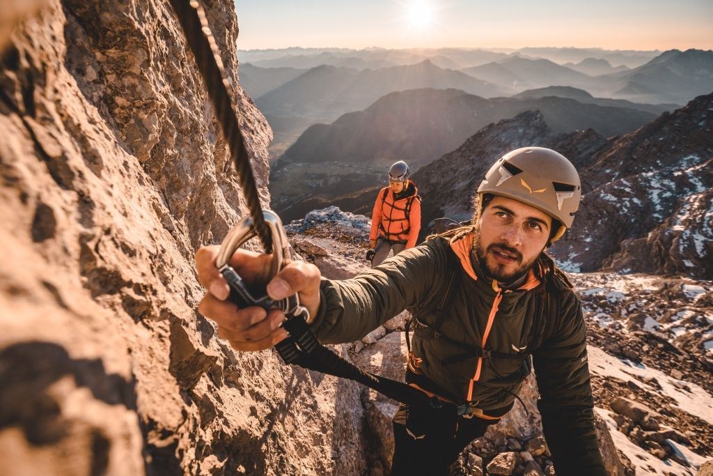
The rest of the trail along the exposed ridge requires surefootedness. Östliches Rothorn and Großes Rothorn are the other peaks, which are not very strenuous in the ascent. The path into the valley (No. 612) is accompanied by impressive rock formations. The ridge section between Schaflegg and Ulrichshorn is a great challenge: short and secured, but steep and exposed! The further way down from the Ulrichshorn is crisp, steep and partly secured. The Kneipp facility at the end of the descent is a relief for tired feet and knees! Return via the hiking trail to the starting point in Weißleiten.
Tour data Day 2: approx. 800 m ascent, approx. 1,800 m descent, 12.2 km, walking time approx. 8 hours.

Read more

Info

On the Nuarach High Trail

Features

  • check difficult / black mountain path
  • teep climb in forest and mountain pine area, in stone, rock and scree. In the upper area, as well as in the descent from Wehrgrubenjoch, rope safety devices.
  • High-alpine mountain equipment, very good shoes, possibly helmet, sufficient provisions and WATER - no refreshments except at the Schmidt-Zabierow-Hütte.
  • Coming from Fieberbrunn or Waidring via the L2 Pillersee Landesstraße to St. Ulrich am Pillersee. Turn off at the Hotel Strasserwirt and continue straight on. At the bakery Brotkultur turn left towards Steinbergstraße, follow this road and later turn right towards Au / Weißleiten. Follow the road. Either park opposite the Stolzlechner butcher's shop or turn left uphill shortly before it and choose the small car park there as your starting point.
  • By bus: free bus service from Ellmau / Kitzbühel / St. Johann i.T. / Lofer and within the PillerseeTal region. Bus stop St. Ulrich a.P. Koglfasserweg. Free of charge with guest card. Walking time to the starting point approx. 5 minutes.

     
  • Parking Weißleiten / Lastal: either opposite Metzgerei Stolzlechner, or just before it on the left up to the small hikers' car park.

Restaurants & infrastructure

Similar

Maukspitze

MaukspitzeHard
Maukspitzeaccess_time11:00 harrow_right_alt18,8 kmfavorite_borderfavorite

Kleines Törl

Kleines TörlHard
Kleines Törlaccess_time8:00 harrow_right_alt11,2 kmfavorite_borderfavorite

Lärchegg

LärcheggHard
Lärcheggaccess_time8:30 harrow_right_alt9,3 kmfavorite_borderfavorite

Ellmauer Tor

Ellmauer TorHard
Ellmauer Toraccess_time6:00 harrow_right_alt7,8 kmfavorite_borderfavorite