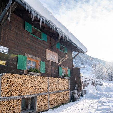
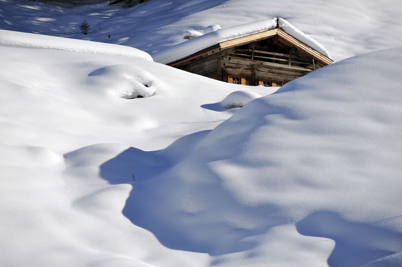
The starting point of this hike is the Erla Brennhütte. From there you hike into the valley along the Langen Grund Ache. After about an hour, you reach your destination, the Tiefentalalm (not managed). Return to the starting point via the same path.
Read more
Info
Winter hiking trail Langer Grund
Features
checkeasy
snow
Warm outdoor clothing, sturdy shoes, Sufficient food and drink
From Innsbruck/Munich: A12 exit Wörgl Ost - feeder road B178 towards St. Johann i. T. & Kitzbühel - after the tunnel exit towards Hopfgarten - at the roundabout take the B170 towards Hopfgarten - turn right after the underpass and cross the bridge towards Kelchsau - head into the valley on the L205 Kelchsauer Straße approx. 10 km to toll station (car toll EUR 5,-) - pass toll station and continue straight on into Langer Grund - follow Langer Grund for approx. 7,5 km to Erla-Brennhütte. From Kitzbühel: B170 Brixentalstraße in the direction of Wörgl - in Hopfgarten, before the second railway underpass, turn left over the bridge in the direction of Kelchsau - approx. 10 km to the toll station (car toll EUR 5.-) - pass the toll station and continue straight on into Langer Grund - follow the Langer Grund route for approx. 7.5 km to Erla-Brennhütte.