Regionsweg past Angerberg

Hiking

favorite_borderfavorite
play_arrowpause
  • Open
  • EasyLevel
  • access_time2:00 hDuration
  • arrow_right_alt6,2 kmDistance
  • trending_up149 mUphill
  • trending_down69 mDownhill
  • Show map
Angerberg & Mariastein R5 (c) Magdalena Laiminger 24.jpg

Tour information

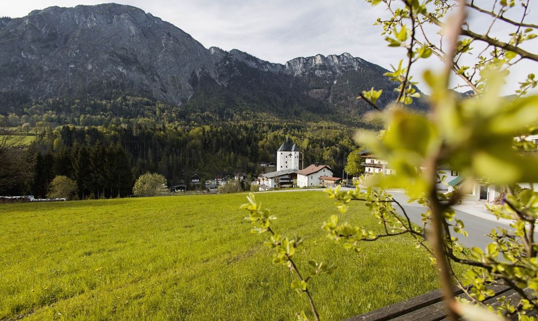
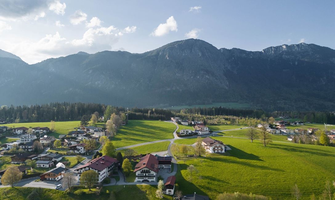
The starting point of this hike is the Innfootbridge. Right at the beginning of this hike you cross the Inn and follow the trail number 1 / 1a. At the intersection, turn right and stay on the regional trail until you reach a fork where the two regional trails divide. Stay on path number 1 and follow it in the direction of Angerberg. You stay on this path (no. 1) until you reach your destination, the pilgrimage church in Mariastein. The starting point of this hike is reached via the same path.

Read more

Info

Regionsweg past Angerberg

Features

  • check easy / hiking trail
  • Asphalt
  • Outdoor-Bekleidung
    festes Schuhwerk
    ausreichend Verpflegung und Getränke
    Erste-Hilfe-Ausrüstung
    Handy mit vollem Akku & Ladegerät
    Wanderkarte & Führerliteratur
    evtl. GPS-Gerät bzw. die GPS-Daten auf das Handy laden
    Sonnenschutz (Sonnenbrille, Sonnencreme & Kappe)
    Regenschutz
    Bargeld
  • Coming from Innsbruck/Munich: A12 exit Wörgl Ost - take feeder road B171 Wörgl/Wildschönau - after approx. 500m in the traffic circle 2nd exit - about 1km further through Wörgl, follow the signs to the destination.


    Coming from Kitzbühel: B170 through Brixental - after passing through Hopfgarten continue approx. 4km to traffic circle, take 3rd exit - continue on feeder road B178 exit towards Wörgl - drive through Loferer Straße until exit on feeder road B171 towards Wörgl - after 500m at traffic circle take 2nd exit - continue approx. 1km through Wörgl, follow signs to destination


    Translated with www.DeepL.com/Translator (free version)
  • bus: Wörgl Mainstation

    train: Wörgl Mainstation 


    Guest card = travel ticket - bus & train included! 

    Online timetables:


    www.vvt.at

    www.oebb.at
  • parking directly at the Innsteg

Similar

Airport Loop

Airport LoopEasy
Airport Loopaccess_time2:00 harrow_right_alt6,3 kmfavorite_borderfavorite

Weitentalweg

WeitentalwegEasy
Weitentalwegaccess_time2:00 harrow_right_alt6,5 kmfavorite_borderfavorite

Obwiesen

ObwiesenEasy
Obwiesenaccess_time1:30 harrow_right_alt5,7 kmfavorite_borderfavorite

Mühltalrunde

MühltalrundeEasy
Mühltalrundeaccess_time1:30 harrow_right_alt6,7 kmfavorite_borderfavorite