Pallspitze

Hiking

favorite_borderfavorite
play_arrowpause
  • Open
  • MediumLevel
  • access_time6:30 hDuration
  • arrow_right_alt15,1 kmDistance
  • terrain2389 mHighest point
  • trending_up1180 mUphill
  • trending_down1170 mDownhill
  • Show map
DSC06753.JPG

Tour information

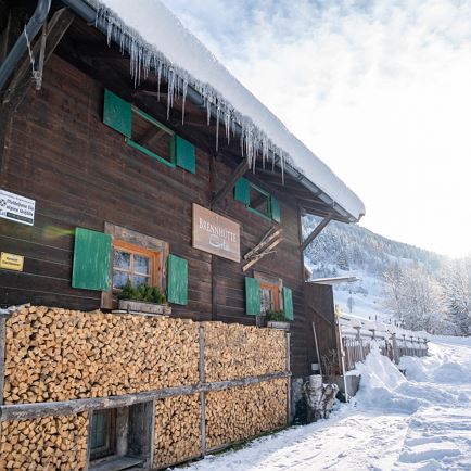
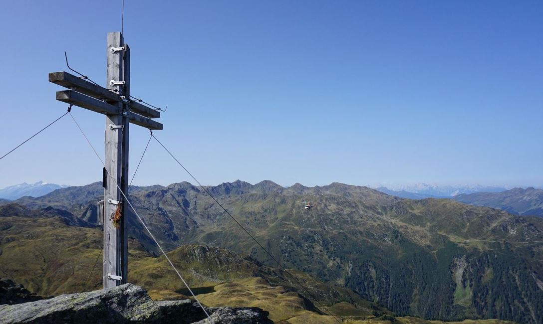
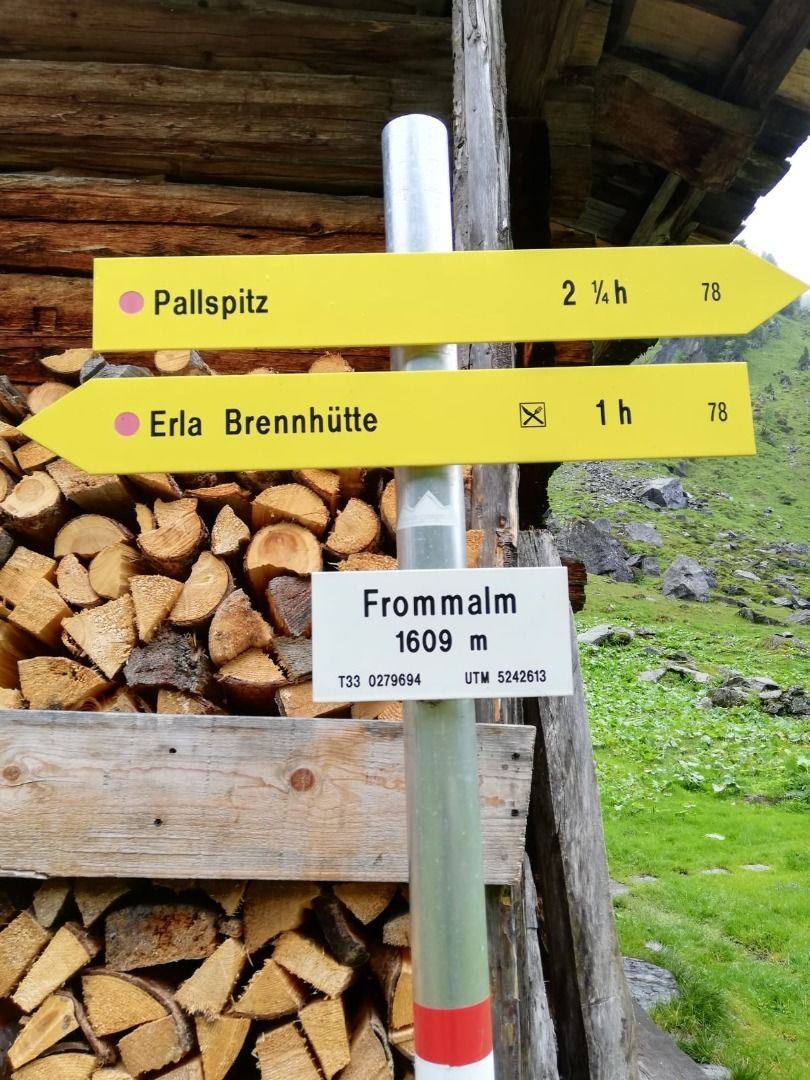
The starting point of this tour is the parking lot just before the Erla Brennhütte in Langer Grund. From there you follow the signposting no. 78 and hike into the Frommtal. Along the Frommbach you walk to the Frommalm, which is located at 1609m. Directly after the alpine pasture a mountain path starts, which leads increasingly steeper into the headwaters of the Frommbach. From the Pallscharte, continue along trail no. 78 to the Pallspitze peak (2389 m).
Back to the starting point, follow signpost no. 78 in the direction of the Erla Brennhütte (Martl Erla).

During the tour there are no rest stops, so we recommend to take enough food and drink.

Read more

Info

Pallspitze

Features

  • check medium difficulty / red mountain path
  • check
  • Forest path, mountain road, mostly mountain trail
  • outdoor clothing Sturdy shoes sufficient food and water First aid kit Mobile phone with full battery & charger Hiking map & guide literature Possibly a GPS device or download the GPS data to your mobile phone Sun protection (sunglasses, sunscreen & cap) Rainwear & cash
  • From Innsbruck/Munich: A12 exit Wörgl Ost - feeder road B178 towards St. Johann i. T. & Kitzbühel - after the tunnel exit towards Hopfgarten - at the roundabout take the B170 towards Hopfgarten - turn right after the underpass and cross the bridge towards Kelchsau - head into the valley on the L205 Kelchsauer Straße approx. 10 km to toll station (car toll EUR 5,-) - pass toll station and continue straight on Langer Grund - follow Langer Grund for approx. 7,5km to Erla-Brennhütte

    From Kitzbühel: B170 Brixentalstraße in the direction of Wörgl - in Hopfgarten, before the second railway underpass, turn left over the bridge in the direction of Kelchsau - approx. 10 km to the toll station (car toll EUR 5.-) - pass the toll station and continue straight on to Langer Grund - follow the Langer Grund route for approx. 7.5 km to Erla-Brennhütte.

     
  • bus: Steinerbrücke in the Kelchsau


    Guest card = travel ticket - bus & train included! 

    Online timetables:


    www.vvt.at

    www.oebb.at
  • free parking at Erla Brennhütte 

Restaurants & infrastructure

Similar

Rauher Kopf

Rauher KopfMedium
Rauher Kopfaccess_time6:00 harrow_right_alt15,0 kmfavorite_borderfavorite

Kröndlhorn

KröndlhornMedium
Kröndlhornaccess_time3:45 harrow_right_alt15,5 kmfavorite_borderfavorite

Wappenweg

WappenwegMedium
Wappenwegaccess_time6:00 harrow_right_alt15,5 kmfavorite_borderfavorite

Almrosenweg

AlmrosenwegMedium
Almrosenwegaccess_time6:00 harrow_right_alt15,5 kmfavorite_borderfavorite

Urzeitweg

UrzeitwegMedium
Urzeitwegaccess_time6:00 harrow_right_alt15,5 kmfavorite_borderfavorite