The Kröndlhorn is the highest mountain in Westendorf!
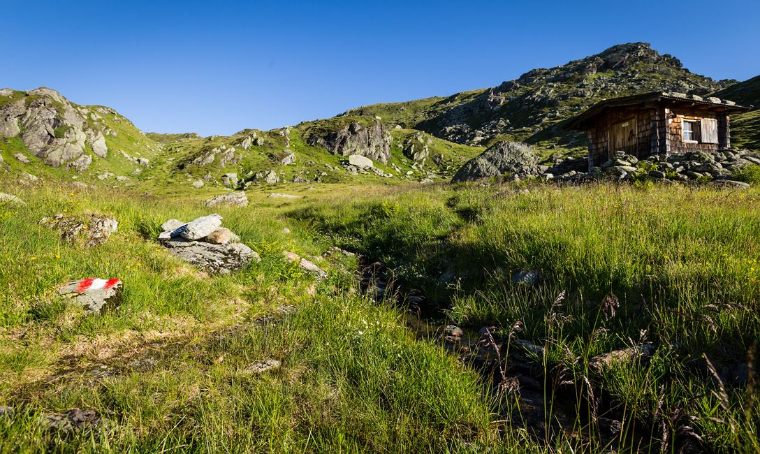
We recommend driving by car into the Windau Valley, passing the Jägerhäusl, Gasthaus Steinberg and the Gamskogelhütte. A steep climb after the Gamskogelhütte will bring you to the Baumgartenalm where you can park. The hike starts here. A little way above the farm buildings the path heads off towards the right, in the direction of the Reinkarsee at 2.194m. Somewhat rough stony terrain will take you up to the Kröndlhorn.Take a little look at the summit chapel and take in the lovely views of the Krimml Waterfalls, the Zillertal Alps, the Gerlos plateau, Schafsiedel, Wildalp lakes, Salzachgeier, Karwendel, Rofan and so much more!
Take the same route back, or turn off to the right just below the Reinkarsee and walk back via the Rotwandalm. A short break is well deserved and recommended - enjoy the great views and wonderful farm snacks! The path below the 'alm' leads back to the Krumbach car park in the valley. Follow the forest road back to the starting point.
Read more