Wanderung auf der Sonnenseite der Hohe Salve

Hiking

favorite_borderfavorite
play_arrowpause
  • Open
  • MediumLevel
  • access_time2:45 hDuration
  • arrow_right_alt7,1 kmDistance
  • terrain1565 mHighest point
  • trending_up500 mUphill
  • trending_down113 mDownhill
  • Show map
Hohe Salve Sommer Salvensee 2022 kompri@Region Hohe Salve - Mathäus Gartner (1).jpg

Tour information

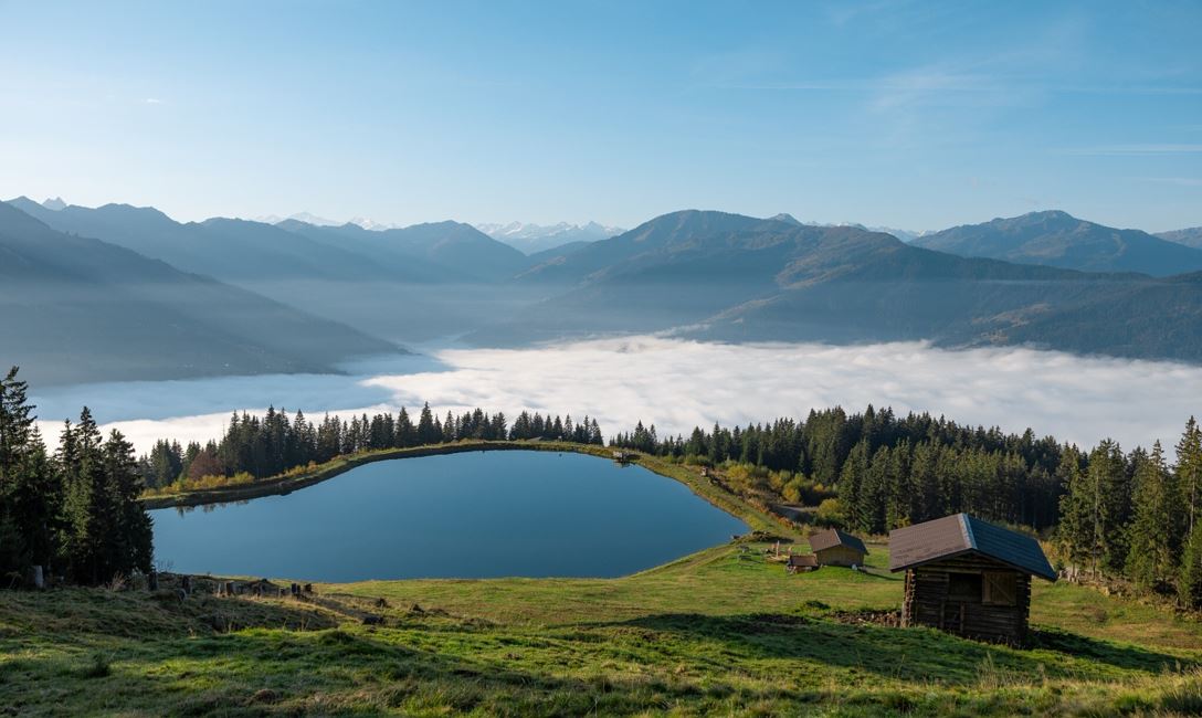
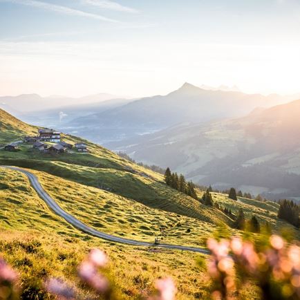
The starting point of the tour is the Hopfgarten middle station. From there, follow the path to the Hohe Salve reservoir (no. 99). Pass the first reservoir and continue to the second lake, the Salvensee (no. 90/99). Once you reach the second lake, follow the signs in the direction of Alpengasthof Rigi (no. 71). Past the Rigi, the trail leads to the Kleine Salve reservoir. (No. 67/68). At the Kälberalm, keep right and follow the signs for no. 70 Kraftalm. At the next fork, follow trail no. 70 towards the Kleine Salve reservoir. Once at the mountain station, take the Salvista cable car down to Itter. From there you can take bus no. 862 back to Hopfgarten. 

Read more

Info

Wanderung auf der Sonnenseite der Hohe Salve

Features

  • check medium difficulty / red mountain path

Restaurants & infrastructure

Alpengasthof Rigi

Alpengasthof  Rigi
Alpengasthof Rigi
Open todayHopfgarten im Brixental
favorite_borderfavorite

Similar

Ranggenalm

RanggenalmMedium
Ranggenalmaccess_time3:20 harrow_right_alt6,9 kmfavorite_borderfavorite