You can start this tour from anywhere along the route.
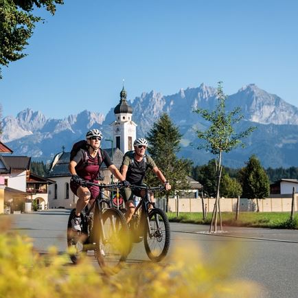
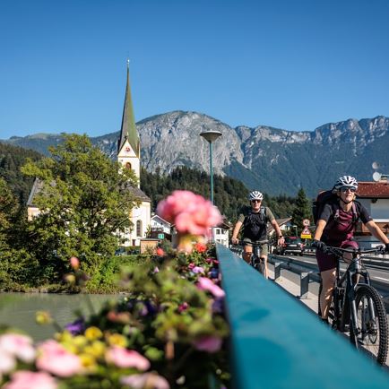
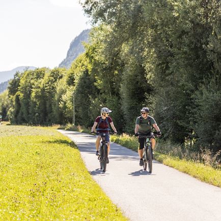
Our start of the Salvenradrunde is the village square in Itter. From there we cycle via the hamlet of Hacha to the historic town centre of Hopfgarten im Brixental. There we get on cycling path n°21 which leads us- after crossing the town- in southern direction into the Windautal valley and from there in a loop back to Westendorf. On cycle path n°21 we continue to Brixen im Thale and Kirchberg – always pleasantly uphill and away from the busy traffic. In Kirchberg the route continues in northern direction past the Kitzbühel/ Schwarzsee golf course to Reith bei Kitzbühel. We follow the signs across the village, uphill towards Astberg and then downhill on the Schösserweg until we get to the road L202. This takes us in only a few hundred metres to the famous Stanglwirt in Going. At the crossing we turn into the B178 and turn left onto the river promenade. Via cycle path n°14 we then go to Going, Ellmau, Scheffau and Söll which lies at the foot of the Wilder Kaiser mountain to the valley station of the Salvista gondola lift. From there it is only a few more minutes until we reach our starting point at the village square in Itter.
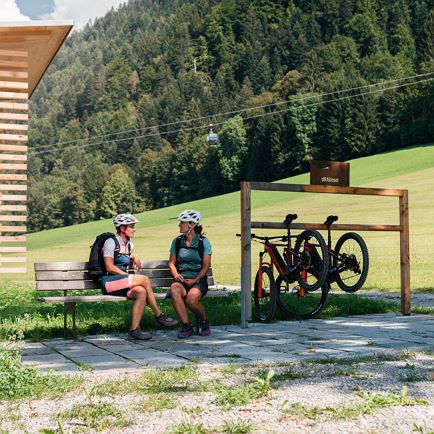
For e-cyclists: along the route there are several opportunities to change or recharge your battery. You get an information brochure with all battery exchange stations at the info offices of the Holiday Region Hohe Salve.
Read more