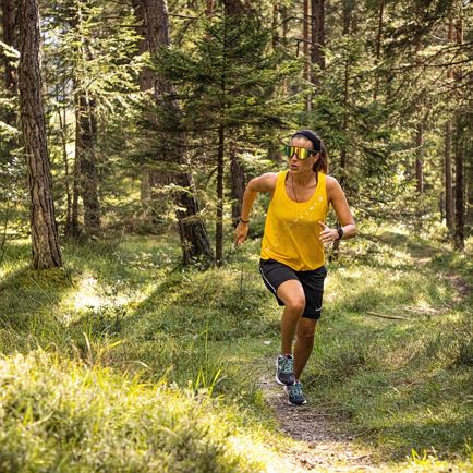
Departing from the village centre, walk along Peter-Neuschmied Straße to Feichten. At the end of this hamlet, keep to the right at “Strublbauer Farm” on a meadow path in the direction of Hohe Salve. After a succession of bends in the woods along a pretty forest road, keep to the left according to the signpost, in the direction of “Klöblhof” (farm). Once there, the hiking trail ends and we continue along the Salvenberg road towards “Moosen”. Just above “Moosen”, keep to the right and walk to the “Straßhäusl” district (observe the signpost as it leads us across a little meadow path!). At the foot of Straßhäusl, take a short-cut through the railway underpass to the right, coming into a small business park. Walk over a bridge and cross the main road, the B170 arriving in the “Mühltal” residential area. This area’s access road leads into an uphill hiking trail on the left, the so called “Saurain”. Following this trail and at the end of which, turning left, we find ourselves back in the village centre.
Read more

 Medium