Show & Gourmet Cheese Dairy KasplatzlShow & Gourmet Cheese Dairy KasplatzlKirchberg in Tirolfavorite_borderfavorite
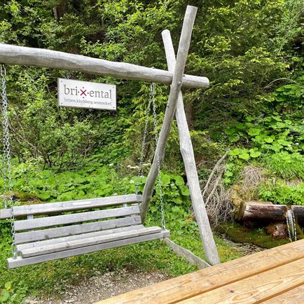
Hängebank Rastplatz LehrpfadMediumHängebank Rastplatz Lehrpfadaccess_time2:50 harrow_right_alt7,8 kmfavorite_borderfavorite
Hängebank Rastplatz LehrpfadMediumHängebank Rastplatz Lehrpfadaccess_time2:50 harrow_right_alt7,8 kmfavorite_borderfavorite
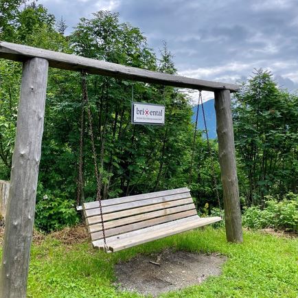
Hängebank SonnwendalmMediumHängebank Sonnwendalmaccess_time3:15 harrow_right_alt7,0 kmfavorite_borderfavorite
Hängebank SpeckalmMediumHängebank Speckalmaccess_time2:40 harrow_right_alt7,0 kmfavorite_borderfavorite
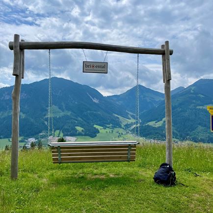
Hängebank ZinsbergMediumHängebank Zinsbergaccess_time3:15 harrow_right_alt9,0 kmfavorite_borderfavorite
Hängebank GaisbergliftMediumHängebank Gaisbergliftaccess_time3:30 harrow_right_alt9,0 kmfavorite_borderfavorite
Hängebank zur BrixenbachalmMediumHängebank zur Brixenbachalmaccess_time3:15 harrow_right_alt9,6 kmfavorite_borderfavorite
Hängebank HampferalmMediumHängebank Hampferalmaccess_time4:20 harrow_right_alt9,9 kmfavorite_borderfavorite
Hängebank ZintingMediumHängebank Zintingaccess_time2:30 harrow_right_alt5,3 kmfavorite_borderfavorite
Hängebank AchenbergMediumHängebank Achenbergaccess_time1:40 harrow_right_alt5,3 kmfavorite_borderfavorite